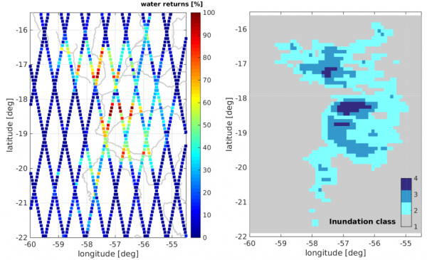
Waveform classification
The difficulty of processing inland altimetry data stems from the fact that the water signal is superimposed by radar returns from all surfaces (e.g. vegetation, artificial structures…) within the altimeter footprint. In consequence, inland waveforms have complex shapes and varying qualities. A way to eliminate unusable waveforms, i.e. reflections from land or bad-quality data, is waveform classification on the basis of statistical parameters such as skewness, kurtosis, peakiness, maximum power, and signal-to-noise ratio.